


Waterfront land Ottawa River: what to know before you buy
The Ottawa River is one of Canada's most diverse waterfront corridors, spanning sandy beaches, steep clay banks, quiet back bays, and deep boating channels. If you're evaluating waterfront land Ottawa River listings—whether for a cottage build, an investment, or future retirement—understand that each shoreline segment behaves like its own micro‑market. Below, I outline zoning, due diligence, financing, seasonality, and regional nuances that consistently shape value and risk for buyers looking at land near a river, including “land for sale near river,” “land for sale with a stream,” and other variations you'll see in searches.
Zoning, conservation, and permissions
Municipal zoning and permitted uses
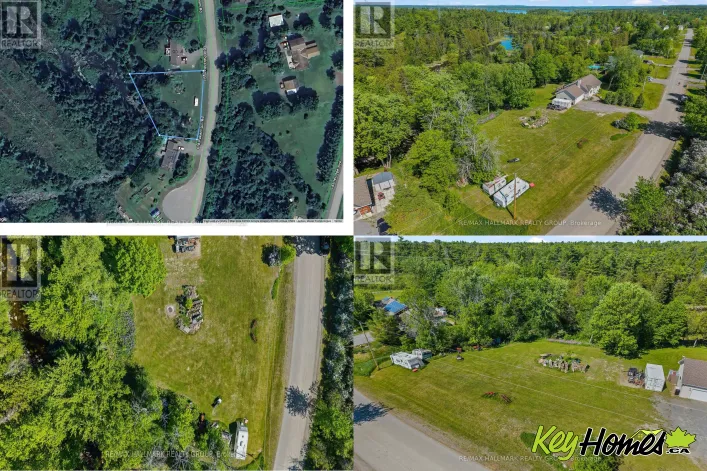
Across Ottawa Valley municipalities (e.g., Whitewater Region, Laurentian Valley, Pembroke, Clarence‑Rockland), rural waterfront parcels are commonly zoned RU (Rural), LSR (Limited Service Residential), or specific Waterfront Residential designations. Each zone controls uses (single detached vs. secondary units), minimum lot area and frontage, setbacks from the “ordinary high water mark,” and rules for docks and accessory buildings.
Buyer takeaway: Never assume a lot is buildable. Lot configuration, access, and services all matter. A property advertised as “land on water for sale near me” might be legal for recreation only. Confirm with the local planning department, request the zoning by-law excerpt, and verify whether site plan control applies.
Conservation authorities and floodplains
Much of the Ontario-side shoreline falls under Conservation Authority oversight, notably the Mississippi Valley Conservation Authority (MVCA) west of Ottawa and South Nation Conservation farther east, with hazard mapping for floodplains and unstable slopes. After the 2017 and 2019 floods, 1:100 floodplain controls are strictly enforced; some areas require engineered elevation, fill restrictions, or prohibit new habitable space altogether. The Ottawa River Regulation Planning Board manages water level information but doesn't issue permits—your CA and municipality do.
Buyer takeaway: If floodplain mapping intersects the lot, expect environmental permitting, elevation certificates, and possibly geotechnical opinions for slope stability. Budget time and money accordingly.
Shore road allowances and riparian rights
Many Ontario waterfront properties include a 66‑foot unopened “shore road allowance” along the waterline. Some municipalities allow purchase and “closing” of that allowance; others keep it public. If the allowance remains open, you may not own to the water's edge, which can affect dock placement and privacy. Ask for survey evidence and title insurance options. Riparian rights are typical, but they're not a blank cheque—work in the water (cribs, dredging) may require federal review due to fish habitat.
Quebec-side considerations
On the Quebec shore (e.g., City of Gatineau, MRC Pontiac), zoning and flood policies differ. Post‑flood “zones d'intervention spéciale (ZIS)” still influence approvals in some sectors. Short‑term rentals require CITQ registration. Francophone listings can include terms like “terrain à louer bord de l'eau” (terrain a louer bord de l'eau), which may indicate leasing arrangements rather than fee simple ownership; verify tenure type.
Site due diligence: water, septic, access, and utilities
Potable water and wells
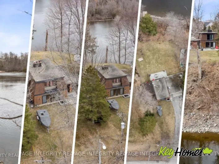
Vacant waterfront typically needs a drilled well. Test potability and yields; proximity to the river doesn't guarantee water quality. Shallow sand points are sometimes used along sandy stretches near Westmeath, but they're more vulnerable to seasonal fluctuations.
Septic systems and setbacks
Most cottages use Class 4 septic systems. Ontario Building Code imposes minimum separations from wells, property lines, and the high-water mark. Some small legacy lots can't meet modern setbacks. A pre‑design from a licensed installer is wise before waiving conditions.
Access and road maintenance
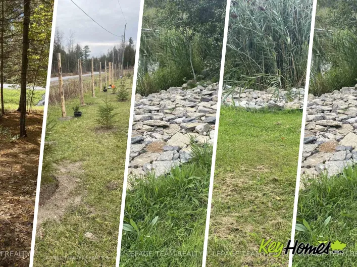
Year‑round municipal road access supports better financing and resale. Private lanes require a registered maintenance agreement. Seasonal roads or water‑access lots can be excellent value plays—what some call “cheap beach land for sale”—but you trade off convenience and often insurance/financing flexibility.
Power, internet, and practical services
Connecting hydro to a remote site can cost five figures, depending on distance to the nearest transformer. Starlink or LTE often bridges internet gaps. Listings that market “land with power and water for sale” usually price a premium for those services. If you prefer off‑grid, plan for solar orientation, battery storage, and winterization features.
Market dynamics and seasonality
Spring and summer: competition; winter: opportunity
Waterfront activity spikes April through August when properties show best and families plan ahead. Fall can be more balanced; winter often offers negotiation room, but site inspections (shoreline, slope, groundwater) are harder. Inventory for “river front lots for sale near me” is thin in high‑demand pockets; patience is part of the strategy.
Value drivers along the Ottawa River
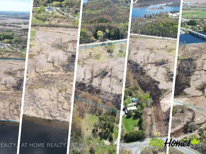
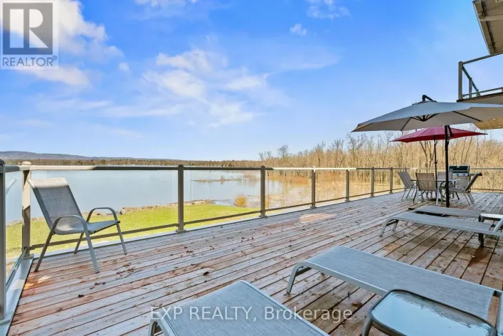
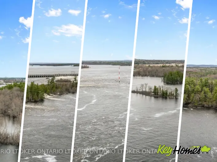
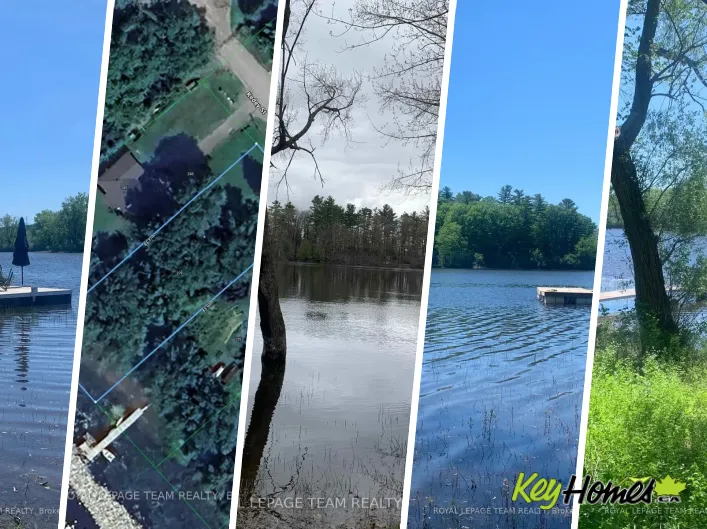
Elevation above flood lines, wide usable frontage, sandy entry, and western exposure drive premiums. Quiet bays suit paddlers; main channels near deep water suit boaters. Areas like Westmeath are known for sandbars and beachy shallows, whereas reaches near Rockland and Hawkesbury are deeper and more navigable. Steeper clay banks may face erosion controls. A “land for sale by beach” headline might look alluring; still, confirm seasonal water levels and ice action on the shoreline.
Investment and resale potential
What appraisers and buyers tend to reward
- Year‑round road access and hydro on site.
- Conforming septic and well with documentation.
- Surveyed lot lines and a closed shore road allowance (if applicable).
- Topography that supports a walk‑out design without extensive fill or retaining walls.
- Protected views with mature tree buffers for privacy.
Parcels exceeding 50–70 acres can attract mixed‑use buyers—think “68 acres for sale near me”—but waterfront proportion still dominates value, not just total acreage.
Short‑term rental rules
Ontario rules vary by municipality. Some Ottawa Valley townships license short‑term rentals or restrict them to principle dwellings; quiet hours and occupancy caps are common. On the Quebec side, CITQ certification is mandatory and zoning may limit where nightly rentals are permitted. If revenue is part of your thesis, confirm permissibility in writing. Buyer takeaway: Underwrite your investment as if transient rentals were limited, then treat any permitted revenue as upside.
Financing nuances for land and cottages
Vacant land usually requires larger down payments with major lenders—often 35–50%—and shorter amortizations. Some credit unions offer more flexibility for serviced land. If you plan to build, consider a construction‑draw mortgage tied to permits and inspections. For cottages, lenders differentiate: Type A (four‑season, road access, potable water) can look like a standard mortgage, while Type B (seasonal or limited services) often demands 20–35% down. Raw “land near a river” with no services may be best financed via HELOC on an existing home or specialty lenders.
Regional snapshots and comparable river markets
The Ottawa River itself varies by reach. For sandy, family‑friendly frontage, review Ottawa River parcels near Westmeath in Whitewater Region. To keep tabs on broader regional supply, the Ottawa Valley waterfront inventory page at KeyHomes.ca is a practical way to compare frontage types, access, and pricing trends.
Buyers who prefer proximity to urban services often consider the Quebec shore; Gatineau River waterfront options can deliver calm current and quick access to Gatineau/Ottawa. If you are exploring “land for sale with running water” beyond the Ottawa system, compare character and price points with Muskoka River waterfront or Otonabee River waterfront, where current, boat traffic, and shoreline regulations differ.
For recreational tracts—think “land for sale with a stream” or “land for sale by beach”—the Canadian Shield corridors provide compelling contrasts. See vacant land on the French River for wilder terrain and boating culture, or survey St. Lawrence River waterfront to understand pricing in a deep‑water, Thousand Islands‑influenced market. Even the Saint John River waterfront listings in Atlantic Canada offer useful comps when considering current, sediment, and flood history in a riverine setting.
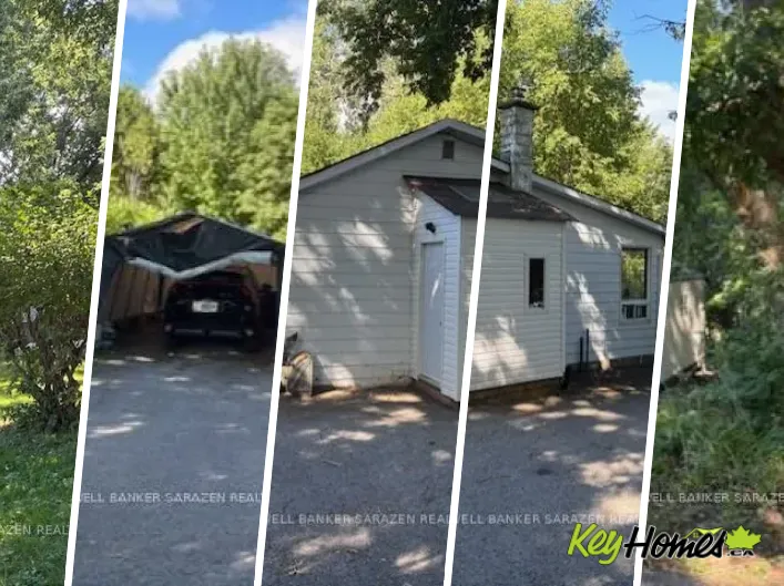
If your target is a turnkey cabin versus raw land, browse waterfront cottages within an hour of Ottawa or broader Ottawa-area waterfront cottages to calibrate build‑vs‑buy math. In many cases, renovation of an older cottage with grandfathered setbacks can be more efficient than new construction on a vacant parcel, especially where floodplain and shoreline constraints are tight.
KeyHomes.ca functions as a research hub as much as a listing portal; in addition to browsing “land for sale near river” or “land for sale by beach,” use it to scan historic sale ranges and connect with licensed professionals who understand local conservation and zoning intricacies. It's also a practical way to locate “land with power and water for sale” filters when comparing sites across multiple river systems.
Practical scenarios and tips
Scenario: high bank with great views
You find a panoramic lot above the channel. The view is exceptional, but there's 30 metres of slope to the water. Expect: geotechnical review for slope stability, switchback stair approvals, and potential limits on shoreline alterations. Budget for engineered stairs, not just a dock. Appraisers will still reward the view and elevation if access is manageable.
Scenario: perfect sandy entry, “cheap” tag
A listing marketed as “cheap beach land for sale” offers shallow sandy frontage. Investigate: flood history, ice shove patterns, and access depth for boats. The price likely reflects either seasonal road access, floodplain encumbrance, or small lot size limiting septic options.
Scenario: mixed-use acreage with a creek
“68 acres for sale near me” with a tributary can be ideal for trails and hunting, plus a future cottage near the main river. Confirm if the creek is regulated fish habitat (which can affect crossings), and whether severances are possible under the official plan. A preliminary conversation with planning staff can save months.
Permits and timelines
Typical path: zoning confirmation letter; conservation pre‑consultation; septic/well feasibility; survey review; offer with due diligence conditions; then building permit and, if applicable, site plan approval. In regulated areas, six to nine months from offer to shovel‑ready is realistic. Buyer takeaway: Build your timeline with permits front‑loaded; the river isn't where you cut corners.