

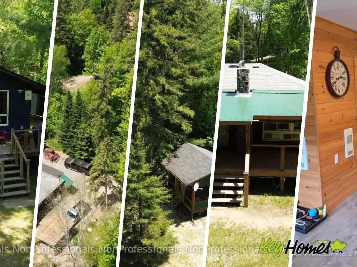


The Big East River in Ontario's Muskoka region flows through the Huntsville area and Arrowhead Provincial Park before joining the broader Muskoka River watershed. For buyers and investors, this corridor offers a mix of four-season homes, cottages, and vacant recreational parcels—each with distinct planning rules and risks. If you've landed here from searches like “rathora village,” note this discussion focuses on the Canadian Big East River market. When comparing listings or researching local constraints, a data-backed resource such as KeyHomes.ca can help you review sales history, property details, and neighbourhood-level insights.
Big East River: Location, lifestyle, and buyer profile
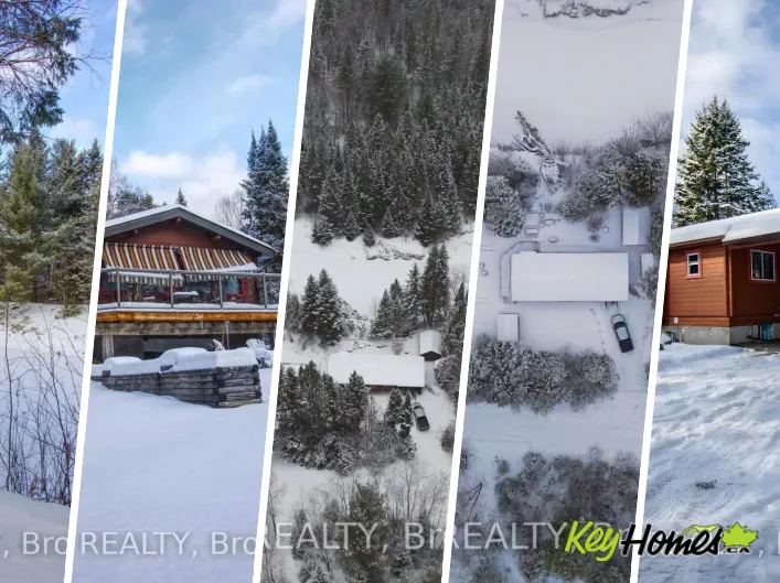
Proximity to Huntsville and Highway 11 keeps the Big East River accessible year-round, while the river setting adds paddling, wildlife, and a quieter feel than some of the larger lakes. Arrowhead's trails, skating rink (weather permitting), and snowshoe loops expand winter appeal. The river does experience spring freshet; buyers should assess floodplain mapping, erosion potential, and historical high-water events for any property under consideration.
For a sense of current inventory, review Big East River listings in the Huntsville area. If you prefer nearby hamlets and value-per-dollar, Novar area homes and cottages often provide similar forested settings with a shorter drive to services.
Zoning and building along the Big East River
Shoreline and rural zoning basics
Within the Town of Huntsville and the District of Muskoka, waterfront parcels are commonly designated Shoreline Residential (SR) or Rural (RU). SR zones typically control shoreline setbacks, dock dimensions, and vegetation buffers. RU parcels may allow broader uses (e.g., small-scale hobby agricultural uses or larger accessory buildings) but still must respect waterfront development rules if they abut the river. Zoning standards differ by municipality; always confirm local by-laws and any site-specific exceptions (e.g., legal non-conforming setbacks).
Environmental protection and floodplain overlays
Expect Environmental Protection (EP) or floodplain overlays in low-lying or sensitive areas. These can restrict placement of buildings, grading, and tree removal. Where an EP or flood constraint exists, a site-specific study (e.g., flood elevation survey, geotechnical opinion, or environmental impact assessment) may be required to obtain permits. Practical takeaway: Before waiving conditions, confirm whether the lot sits within regulated floodplain and whether existing structures were permitted with the required clearances.
Shore road allowances, docks, and permits
Muskoka properties may be affected by an Original Shore Road Allowance (OSRA). If the OSRA is open, the municipality may own the strip between your lot and the water's edge, affecting docks, boathouses, or patios. Closing or purchasing the OSRA (if available) involves survey, legal, and municipal fees. New or expanded shoreline structures may require approvals under local by-laws and, in some cases, provincial or federal agencies if there is fish habitat or bed disturbance. Verify with the municipality and appropriate authorities prior to any work.
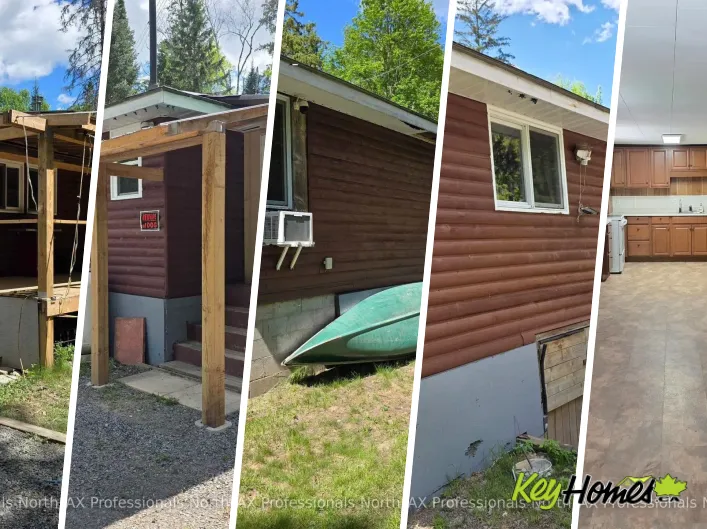
Water, septic, and utilities: essential cottage due diligence
Potable water and intake systems
Some Big East River homes use drilled wells; others rely on river intakes with filtration and UV treatment. Lenders generally prefer a drilled well for year-round residences. If using surface water, budget for treatment upgrades and regular testing. Include a potability test, flow-rate assessment, and winterization plan in your conditions.
Septic systems
Ontario Building Code (Part 8) governs septic design and setbacks. Typical waterfront rules require minimum setbacks from the high-water mark and from wells. For older systems, ask for pumping records, a recent inspection report, and confirmation of bed location. Replacement costs vary widely depending on soil and elevation—plan contingencies if the lot is tight or constrained by EP/floodline mapping.
Access, winterization, and heating
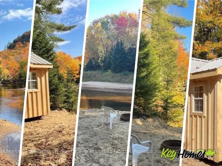
Confirm year-round municipal or privately maintained road access; some lanes are seasonal. Insurers and lenders often require four-season access for primary residence financing. For heating, many cottages rely on wood stoves plus electric or propane. A WETT inspection is advisable for solid-fuel appliances. If you're targeting smaller recreational cabins, review comparable options across Muskoka via this curated set of Muskoka cabin listings.
Financing and insurance realities for riverfront
Lenders classify properties as primary, secondary, or recreational. True recreational parcels—especially those with seasonal access, surface-water intake, or limited winterization—may require larger down payments (often 20% or more) and conservative appraisals. Flood exposure is a key underwriting factor; some insurers exclude overland flood coverage in higher-risk zones.
Example: A buyer seeking 10% down on a three-season cottage with a river intake and no year-round road may find conventional lenders unwilling. Restructuring to a 20–35% down payment and moving to a lender comfortable with recreational collateral is often necessary. Another scenario: A fully winterized SR-zoned home on a maintained road with a drilled well and recent septic approval typically attracts broader lender and insurer support.
Short-term rental (STR) bylaws and income assumptions
The Town of Huntsville has implemented licensing for short-term rental accommodations. Requirements typically address occupancy limits, parking, fire safety, and property management contacts, and may differentiate primary residences from dedicated STRs. Rules evolve, and regulations vary by municipality, so verify details directly with the town before underwriting revenue. Investor note: Model revenue with conservative shoulder-season occupancy; summer weeks on the river can book well, but spring freshet and late fall shoulder periods are variable.
Looking beyond Huntsville, investor-friendly river and lake districts like Magnetawan and the Almaguin Highlands offer diverse STR profiles; river-focused options near the Sauble River corridor or beaches on the South Bruce Peninsula present contrasting seasonality and by-law environments. Confirm licensing and occupancy rules locally in each jurisdiction.
Seasonal market trends and timing
Listing activity commonly ramps up from late winter into spring, with peak buyer traffic in May–August. Competitive bidding is more likely for turn-key, four-season waterfront homes with drilled wells and compliant septic. Fall and winter can offer quieter negotiations and better access for due diligence on structure and mechanicals, but frozen ground complicates septic testing and waterline inspections. On the river, floodline questions are best answered with survey data and records rather than relying on low winter water visuals.
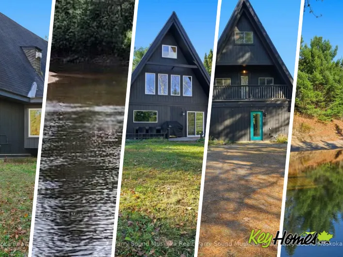
Resale potential: what typically holds value on the Big East River
- Frontage and privacy: Wider river frontage with mature tree buffers and minimal adjacent development is consistently sought-after.
- Topography and access: Gentle grades to the water and level parking areas appeal to multi-generational buyers.
- All-season utility: Year-round roads, proper insulation, and efficient heating broaden the resale buyer pool.
- Compliance clarity: Documented permits for additions, docks, and septic upgrades reduce friction at resale.
- Risk profile: Properties outside mapped floodplain and with stable banks generally command a premium.
To benchmark value beyond Huntsville, compare river and lake markets with similar buyer pools: explore Restoule and area waterfront listings for quieter, larger-lot settings; the Port Loring cottage corridor for fishing-focused buyers; and Bruce Beach in Kincardine for Lake Huron sand-beach comparables, which trade on different seasonality and wave-energy dynamics.
Regional considerations that affect offers and ownership
Conservation authority and studies
Muskoka-area conservation and municipal planning departments may require setbacks, vegetative buffers, and stormwater controls, especially near cold-water fisheries or wetlands. Where fish habitat is present, in-water work windows and permitting tighten project timelines.
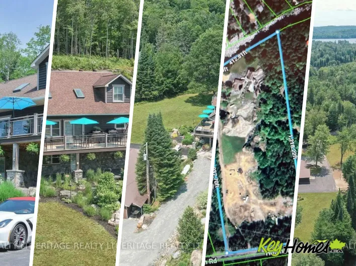
Title, surveys, and encumbrances
Request a recent survey or reference plan where shorelines meander—older descriptions can be vague along river bends. Confirm whether a closed or open Shore Road Allowance impacts your frontage and whether neighbours have encroachments (e.g., shared stairs or docks).
Neighbourhood context and alternatives
If your search widens, some buyers pair Big East River showings with Almaguin or Georgian Bay-lite options to test value and lifestyle fit. For sandier beaches and family-friendly shallows, review Cawaja Beach properties. If your priority is a quiet inland setting with mixed cottage and year-round homes, Magnetawan waterfront and rural listings provide instructive comparables.
Working data-first and province-aware
Waterfront rules in Ontario vary by municipality and lot. The safest path is to write conditions that allow for well/septic inspections, floodplain confirmation, and shoreline structure compliance checks. Where you need sales context, market absorption rates, or zoning summaries, KeyHomes.ca maintains region-specific listing pages and market snapshots—useful both for Big East River due diligence and for contrasting markets like the South Bruce Peninsula or the Novar/Huntsville fringe. Keep in mind that overseas search terms such as “rathora village” sometimes surface unrelated pages; ensure your comparisons stay anchored to Ontario regulations and local by-laws.